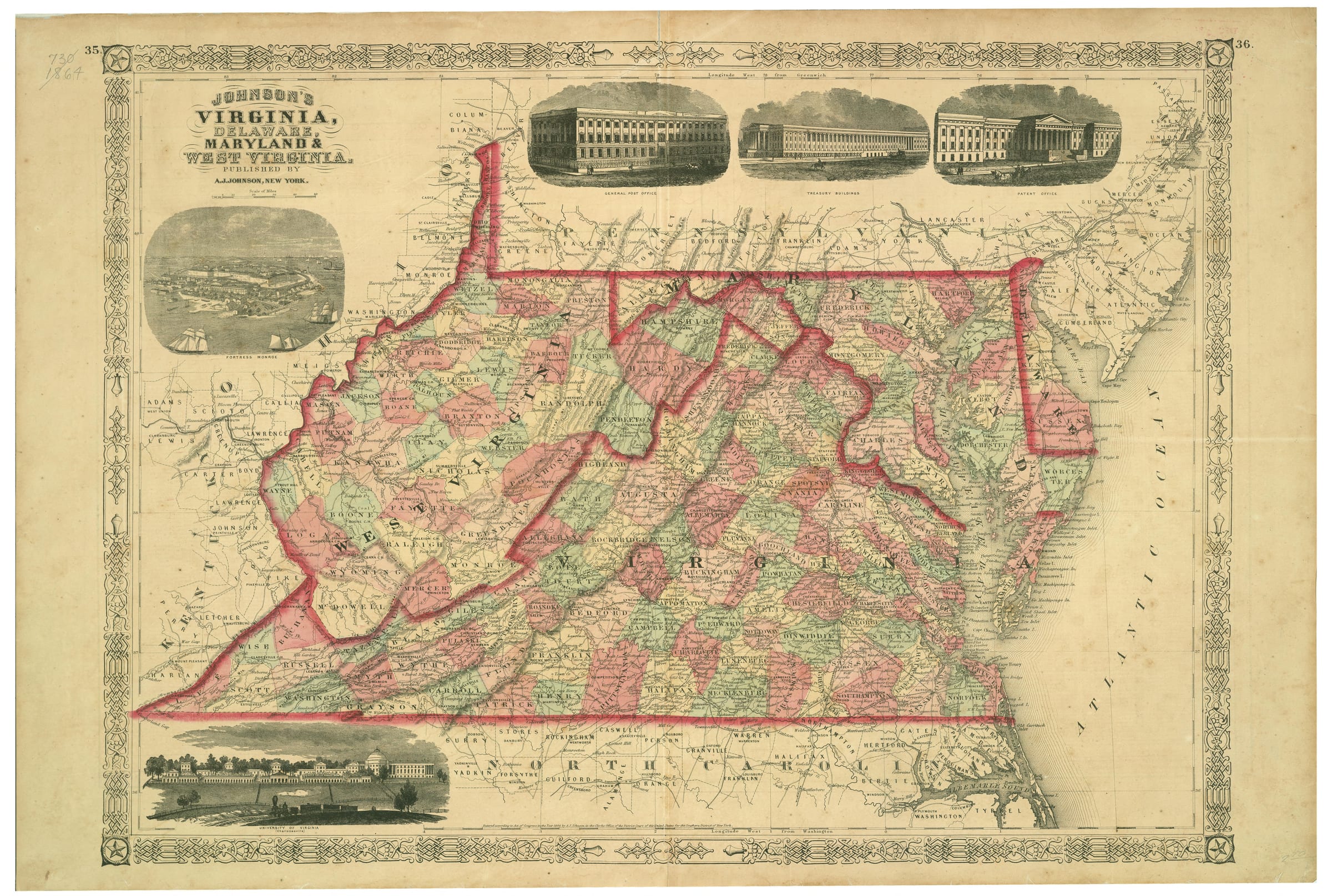
Johnson's Virginia, Delaware, Maryland & West Virginia
 🔍 Click to zoom
This 1864 map by A.J. Johnson depicts Virginia, Delaware, Maryland, and West Virginia, highlighting political boundaries, cities, and transportation networks during the Civil War era. Published in New York, the map includes several inset illustrations of prominent buildings and Fortress Monroe. Counties are clearly delineated, with some areas of West Virginia, which became a state in 1863, also shown.
Sign in to download — free with any account.
Cite this map
Cites the Temple Seven copy you're viewingJohnson, A. J. Johnson's Virginia, Delaware, Maryland & West Virginia. A.J. Johnson, 1864. Map. Temple Seven Press, https://qa.templeseven.com/maps/johnson-s-virginia-delaware-maryland-west-virginia-1864.
The same citation travels with anything you pin from this map — one source of truth.Citations are auto-generated and may be incomplete or incorrect. Double-check every citation against your style guide before submitting — you use them at your own discretion.+ Pin to an investigation