Map Of The Seat Of Civil War In America
 🔍 Click to zoom
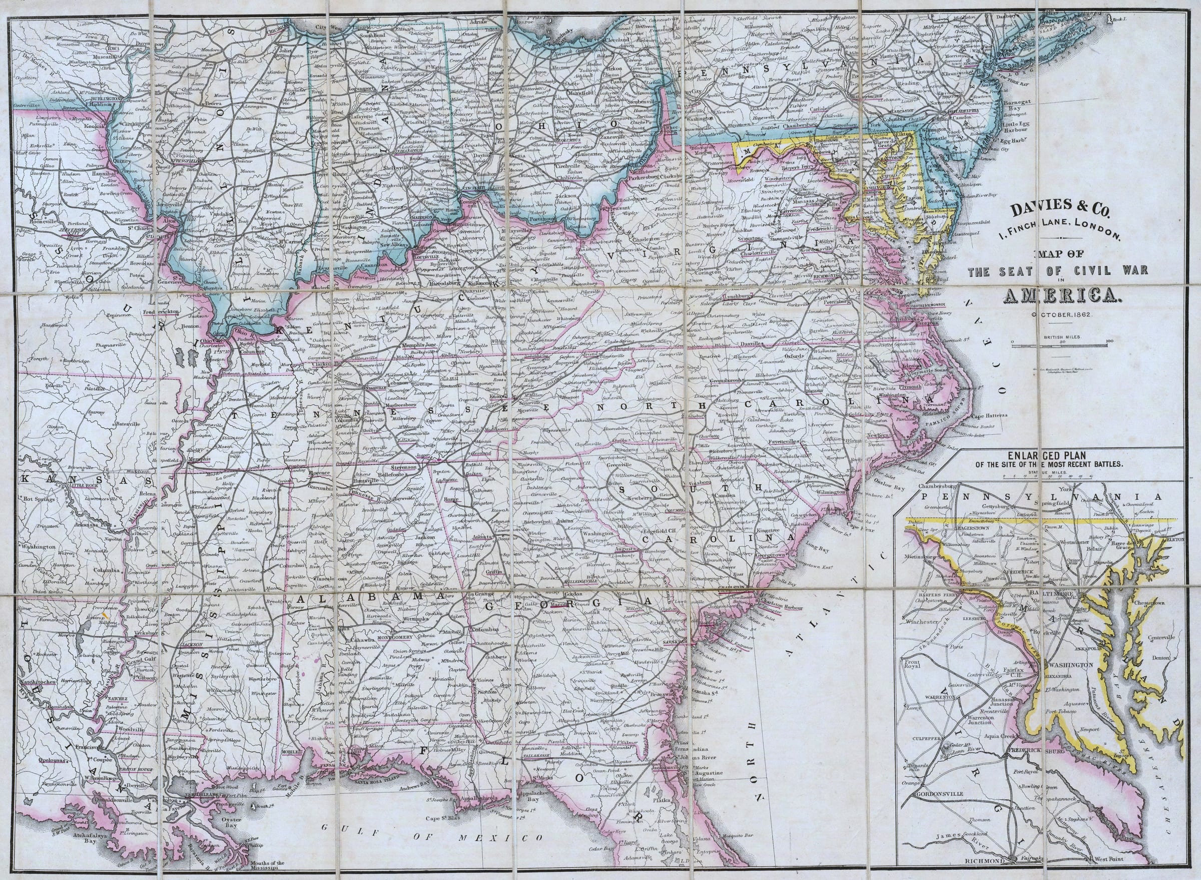
This historic map, published by Davies & Co. in London in October 1862, illustrates the 'Seat of Civil War in America.' It covers the southeastern United States, extending from Kansas and Missouri eastward to the Atlantic and from Pennsylvania southward to Florida and the Gulf of Mexico. The map features an inset 'Enlarged Plan' showing the area of recent battles between Richmond and Baltimore, and states are color-coded to indicate Union, Confederate, and border affiliations.
Sign in to download — free with any account.
Buy a print
Archival pigment inks, made to orderSize
Additional border
Printed around the map on the same sheet — the paper size stays the same, at no extra cost.
Frame
Medium
Cite this map
Cites the Temple Seven copy you're viewingDavies & Co. Map Of The Seat Of Civil War In America. Davies & Co., October, 1862. Map. Temple Seven Press, https://qa.templeseven.com/maps/map-of-the-civil-war-in-america-1862.
The same citation travels with anything you pin from this map — one source of truth.Citations are auto-generated and may be incomplete or incorrect. Double-check every citation against your style guide before submitting — you use them at your own discretion.+ Pin to an investigation